CAI Guo-Jie

Land Dug Up from the Margin of Error in Cadaster
- 2022, mix media, single-channel video, 8 min 39 sec.
- Courtesy of the artist.
Curatorial Perspective
Since 2004, Cai Guo-Jie has focused on relations between space and society. He explores national governance from the angle of cartography, using instruments of measurement and representation to point out his observations: When facing the land offered by the planet Earth, technologies of measurement in different eras, and the laws based on which these technologies create boundaries, are never accurate, and will always be replaced by later technologies. The “surplus” produced by the differences of technologies, and the “margin” of measurement, in terms of the planet as land, are what cannot be controlled and grasped by human technologies of measurement yet. This “narrow area,” or “lost space,” in light of political metaphysics (which addresses the basic unit of the politics of the Earth), is precisely what the artist guides our attention to. This is especially the case when we view the human history, such as the brief modern history, in which modern laws have converted land inhabited by indigenous peoples around the world – the land on which their offspring have been nursed and civilizations created – into “terra nullius” (nobody’s land) to be subsequently measured and turned into usable modern land “resource.” So, how does such “surplus” exist, and in what forms? Throughout his investigation about land contention and controversial boundaries, the artist has uncovered the struggles for power and resource therein. Part of this art project involves measuring land and digging up soil on the premises of a public organization, which constitutes a challenge on the institution on the border. In accordance with the Lost Space Project at the National Taiwan Museum of Fine Arts (NTMoFA), he has specifically examined the NTMoFA’s multiple renovations in the past and the re-configuration of its architecture as a way to re-consider the topics of land system, modern governmentality, as well as national and historical justice.
Creation Description
In the current social reality, the “divide and rule” spatial governance strategy was intended to divide up the power of social organizations for widespread infiltration of the national governance apparatus. It seems that the whole world is being explored, labeled, and governed, with danger zones that are unattended, divergent, and mysterious or unknown constantly being eliminated, as unordered spaces possess great potential for life. If the principal part of the evolution of spatial regimes is not in line with the will of the state but is the daily practice of the masses, how is this specifically manifested? In the eyes of the masses, what is the meaning of the evolution of spatial regimes? Land boundary measurement errors cannot be corrected. From cadastral maps, when land is “naturally” divided up, it results in the boundary markers that we see. The Half Field Project has been ongoing since 2004. Cai Guo-Jie’s artistic practice centers around expansion of the “space-society” dimension. Between physical space (first space) and spatial regimes (second space of political imagination), Cai searches for and creates essential space for error (third space or interstitial space). In artistic terms, “interstitial space” is for land administration and major “geographical discoveries.”
National Taiwan Museum of Fine Arts Cadastral Line 5.0
Based on the National Taiwan Museum of Fine Arts (NTMOFA) Architectural Files 4.0 exhibition, curated by NTMOFA Associate Researcher Chao Hsin-Yi, like the evolution of an organism, the organic development process of this museum’s architecture has four versions: 1.0 Budding and Challenges, 2.0 Breaking and Regeneration, 3.0 Growing and Reforms, and 4.0 Expanding and Evolution. Cai Guo-Jie participated in the most recent mapping of the cadastral lines of this museum. The overlap of these cadastral lines with historical mapping data leads to post-operating system “annual rings.”
Land Dug Up from the Margin of Error in Cadastre
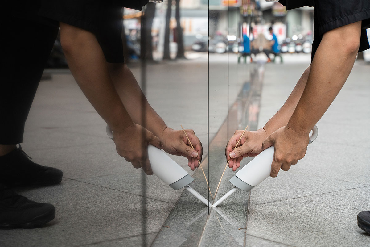
The artist Cai Guojie collects dust from the Netherlands Office Taipei (NLOT) and the Taipei Office of the Japan-Taiwan Exchange Association, and transposes it onto the land boundaries of the Office of the President Republic of China (Taiwan), creating a piece of “deformed land" that proliferates and extends from the boundaries therein.
Different from the leftover lands incurred from carving and dividing lands, this deformed land, acquired and then transferred on the cadastre, is a result of the margin of error generated by the system. The artist aims to produce a margin (an interspace) between the reality space and the cartographic space, and impose this “margin of error” onto the physical reality with the use of “dust”.
The dust embodies the difference between the political imagination and the system, as well as the power from the political regime. The formation of deformed land can be regarded as an ambivalent result of the two different jurisdictions operated in the history, an interspace generated from the changes of political regimes.
Is the act of land division durable? When the old power institutions are still acting on the new one, and history affects the present, does it mean that the power to construct land come from history? How is it established? In the light of such incomplete transition of land and cadastral systems, does it suggest the denial of overthrowing regimes or the affirmation of power inheritance? And can we “dig out” and thus undermine history in order to establish power today? Cai Guojie asks such questions about power and system with the concept of "interspace".
Work
-
Land Dug Up from the Margin of Error in Cadaster2022, mix media, single-channel video, 8 min 39 sec. Courtesy of the artist.
Artist Bio
Cai Guo-Jie initiated a spatial experiment “Half-Field Project” to interpret institutional discrepancies and generate art space. The project is a series of acts that outlines liminal spaces through land deeds and explores ‘the field of power’ in art. When the world has been coded and verified in its entirety, and when ambiguities have been eliminated by the boundaries of space, what interventions could be made in urban space and the system by re-materializing and re-archiving the system’s own discrepancies? Cai employs the discrepancies in the interpretation of the urban system to generate spaces and uses them as an art space to re-engage, integrate and infiltrate the social system and space. In the ‘Half-Field Plan’ project, choice is empowerment; a mutual agreement is a power play. Cai’s main focus is on the transfer of permission from the 'conceptual' to the 'physical', highlighting the ownership of the interspaces between boundaries. Thus, the 'power of boundaries’ and the ‘desire for power' of man-made boundaries act as an opposing reminder to the perception of 'infinity' - the freedom we long for. Cai won the Kaohsiung Award (Art Project and Interdisciplinary Art) in 2021, and his works have been widely exhibited internationally.